Riverview Vibes
Archives
Hurricane Erin Intensifies, Posing Threats Along the East Coast
SIGN UP FOR OUR NEWSLETTER
Hurricane Erin Intensifies, Posing Threats Along the East Coast |
Category 4 Storm Brings Dangerous Surf and Rip Currents to Florida and Beyond |
Hurricane Erin has intensified into a formidable Category 4 storm, currently churning in the Atlantic Ocean and impacting coastal regions from Florida to New England.
As of Wednesday, August 20, 2025, Erin is located approximately 295 miles southeast of Cape Hatteras, North Carolina, with sustained winds reaching 110 mph.
While the hurricane is not expected to make direct landfall, its outer bands are already affecting the East Coast with tropical-force winds and hazardous surf conditions.
Beaches along the coastline have been closed due to life-threatening rip currents and the risk of coastal flooding.
In North Carolina's Outer Banks, evacuation orders have been issued as waves up to 20 feet threaten to isolate communities and damage infrastructure.
Surfers in Virginia Beach are drawn to the large swells generated by Erin, even as surf competitions pause due to the storm's proximity.
Authorities are urging residents and visitors to heed warnings and avoid entering the water during these dangerous conditions.
In Florida, the impact of Hurricane Erin is being felt along the coast, with increased surf and rip currents posing risks to beachgoers.
Local officials have advised residents to stay informed and exercise caution, especially in areas prone to coastal flooding.
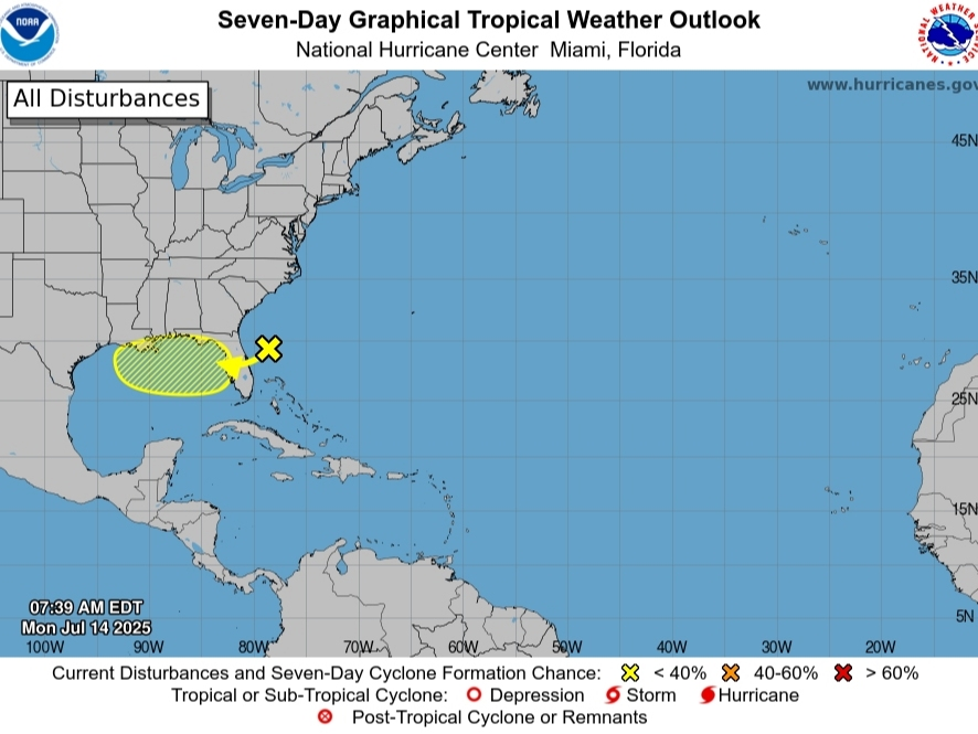
Looking ahead, the National Hurricane Center is monitoring additional tropical disturbances in the Atlantic.
Experts warn that warming oceans, fueled by climate change, are contributing to hurricanes like Erin intensifying more rapidly.
Residents along the East Coast are encouraged to stay updated with the latest forecasts and follow guidance from local authorities to ensure safety during this active hurricane season.
For the most current information, consult the National Hurricane Center and local weather services. |

